Expedition to Ruwenzori
In 1906 the Duke of Abruzzi, Luigi Amedeo from Savoia, left as mountaineer and explorer for conquering the mountains of Ruwenzori, Uganda, on the border with Congo. That area, now became Mountains National Park of Uganda, is a land of scientific interest as well as landscaping. In fact, considering some of the highest peaks of this African area, such as the Peak Margherita at over 5500m above the sea level, or Mount Baker at 4883m, is characterized by the presence of several perennial glaciers on which it is possible to study some effects of global warming.

In particular scientists are studying the marked regression of glacial surfaces on Ruwenzori’s peaks and all tropical glaciers, which recorded a regression of about 75% in the last century.
The event that causes the regression of glaciers in extension and volume is very complex. It depends on many climatic factors (humidity, temperature, cloud cover, solar radiation, etc.) and, as regarding Ruwenzori, it assumes a special connotation because, for example, the daily temperature range is larger than the temperature range of the full year due to seasonal effects. A much more complex situation than glaciers in the Alps.
On the basis of these considerations researchers agreed on the need for continuously monitoring the environmental parameters and changes of glaciers, creating a network of stations on high altitude.
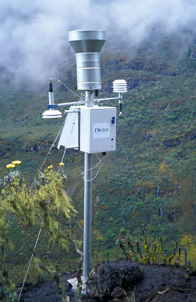
So an expedition started, on the occasion of the centenary from the first expedition of Duke of Abruzzi and, following in his footsteps, it made several surveys and installed glaciological stations, one of which was our, installed at 4200m above the sea level and supplied by solar panel.
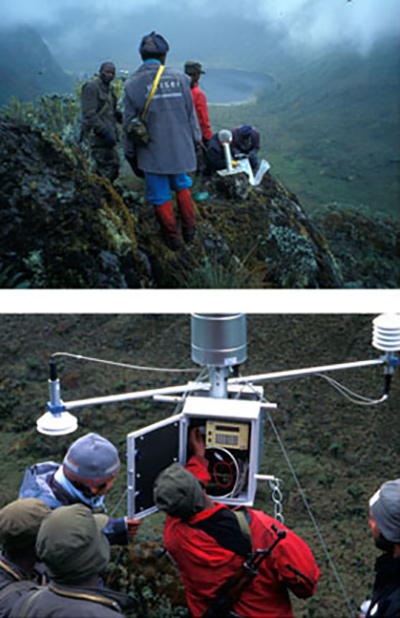
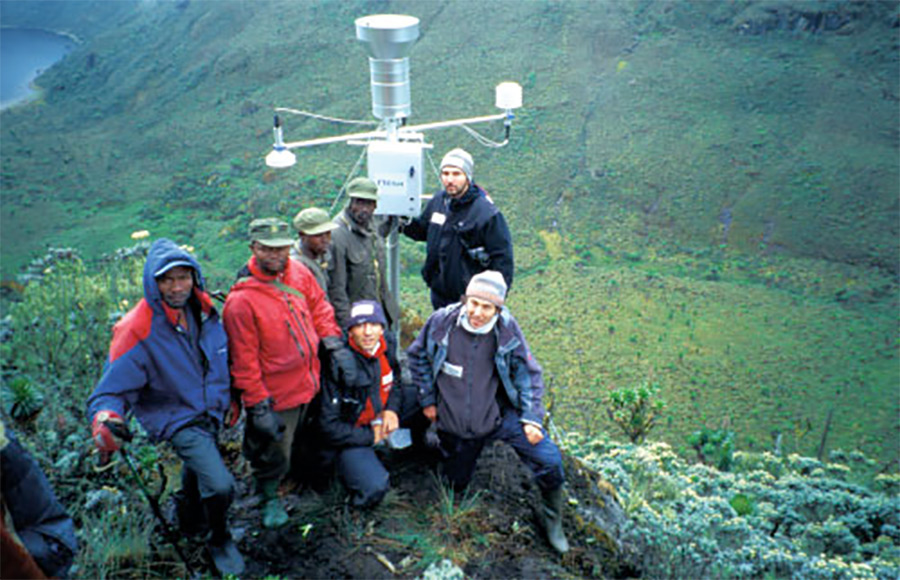
The pictures on this page display a few moments lived by the team of technicians of expedition who, accompanied by armed guard of the park, reached by a tortuous path the location suitable for the installation and they activated the equipments.
The station automatically detects every minute the main weather parameters (temperature, humidity, pressure, rain fall and snow depth (winter). It performs several processes that are stored in the large internal memory before being transmitted, together with those from other stations installed by Ugandan government, to center where researchers analyze them.
The first station dates from 2006, and since then the station is detecting, and it has been supplemented with additional sensors for measuring other environmental parameters of interest.
A success for Nesa company that could help also in this case the research for environmental protection, collaborating with Italian Alpin Club and University of Brescia (prof. Giorgio Vassena).
Part of the article is loosely based on “GeoMedia” geomatic magazine n.5 in 2006 – Ruwenzori 2006.


